Watching Hawaii Boil the Pacific Ocean
Published 2020-09-29
I’ve had a lot more opportunity to travel since I joined Mozilla, and it eventually occurred to me: I could rent aircraft in some of these places I was visiting, and see those places in a different way. A large part of why I chose to fly is the glory of seeing new places. Road trips with more of the good stuff and less of the boredom, basically.
I’m going to write about several of these flights I’ve taken while traveling in recent years, but starting with the one most likely to involve a water landing.
In December 2016, all of Mozilla went to Waikoloa, Hawaii, about an hour north of Kona for a worldwide-company work-together week. That Saturday, when everyone was flying home – or to wherever their travels next took them, it was December in the tropics, after all – I had the whole day to myself. I booked a red-eye back to the mainland, leaving at midnight.
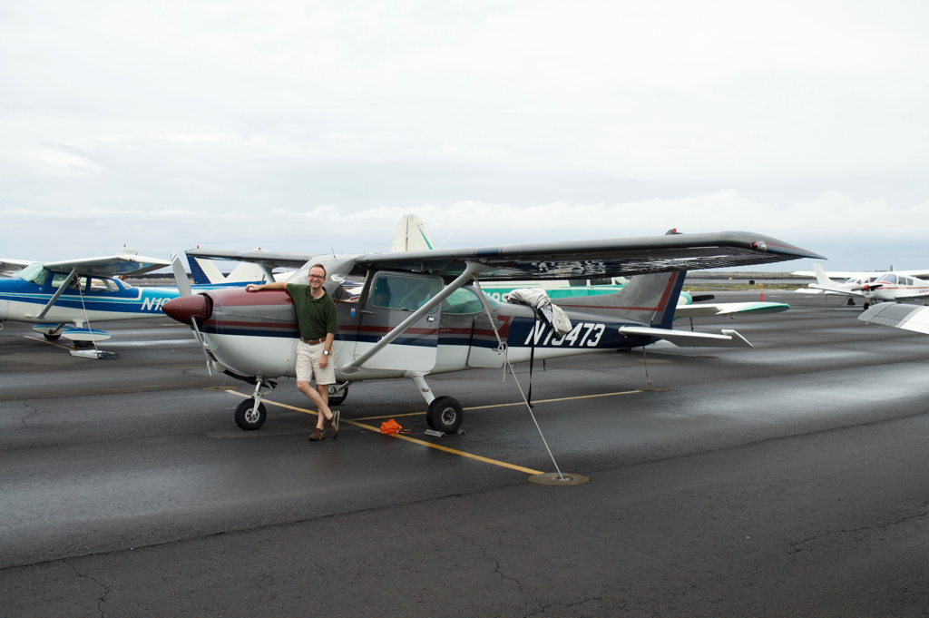
But nevertheless, I woke up early and took the shuttle bus the hour down to Kona International airport: I had a 7am “adventure flight” with a flight instructor and a Cessna 172K Skyhawk that I found at a local FBO via the airport’s AirNav page.
While everyone else headed into the lines at the terminal, I waved away the helpful motions from staff and walked south along the terminal road toward where I assumed the FBO would lie. In truth, I wandered around quite a bit before finding that the FBO didn’t have through-the-fence access: it was in a prefab building situated amid a parking lot. The flight instructor was jovial about me being a couple of minutes late, saying we were on island time anyway.
Weather was rather nice that morning, though with clouds offshore to watch. Earlier that week the Kona area had some significant rainfall, which was uncommon there for the season, so the weather patterns were just atypical enough to be worthy of real discussion. Still, it looked good: The worst case would be a low layer interfering with VFR approaches, no chance of fog or precipitaiton. In that worst case, the airport, airplane, and both the instructor and I were all IFR current. Sure, I hadn’t flown that aircraft before, but it was a pretty standard Cessna 172 with the same navigation avionics I had in my club’s Cessna 182S.
I invited a work colleague along, and we coordinated him to arrive on the shuttle bus right after mine - so he had the foreknowledge of knowing exactly where to meet me and the flight instructor as we headed through the fence and onto the Kona airport ramp.
Our flight plan was to see if we could circumnavigate the big island, heading south first to the southernmost point of the United States, then Volcanoes National Park, and around. Weather being what it was, we were prepared to modify if necessary.
The only strange thing I noticed about the 172 during preflight was that there was no fire extinguisher in the cabin. The local instructor remarked: the whole ocean was the fire extinguisher. Hmmm.
Kona tower was jovial and wished us a good flight. We got an exceptional view of the city with the sun low in the sky as we climbed away, staying over the water as we headed south.
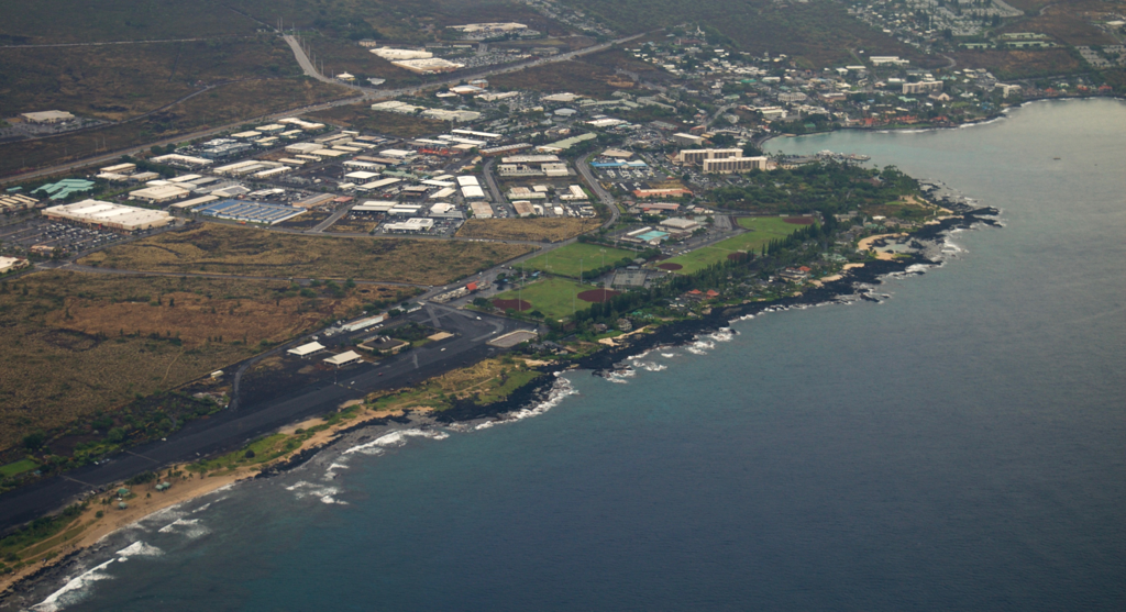
Views were phenominal. The flight instructor just relaxed and played tour guide, relating his experiences, his favorite places, and tidbits as we passed by green glass beaches and the everpresent evidence of the volcano.
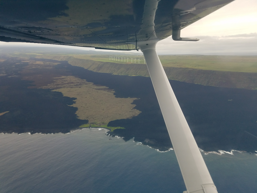
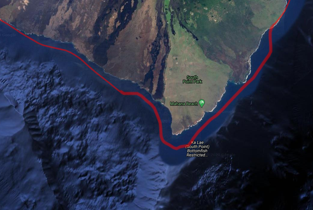
We rounded the southernmost tip of the big island with not another craft to be seen, in the air or on the water, so we surmised that we were the southernmost Americans within the United States for that moment.
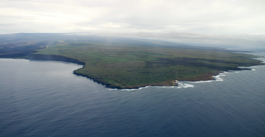
We could see ahead the sulfur steam of the Kamokuna lava ocean entry ahead in the Hawaii Volcanoes National Park, but I was eyeing how the steam was becoming lost in the cloud layer so close to our altitude.
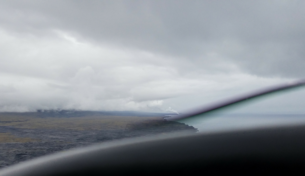
Pointing this out to our CFI, he started scanning the helicopter tours’ radio frequencies for news. Usually the area there around the steam vent is thick with tour helicopters, prompting other aircraft to keep a careful distance. The chatter was busy, but the recurring theme was: the tour helicopters, mostly operating out of Hilo, couldn’t make it through the clouds. They were stuck on the far side of the island from the fun stuff, trying to entertain passengers who weren’t getting to see the goods.
None of the helicopters could make it to where we were. We had the airspace to ourselves, for this moment.
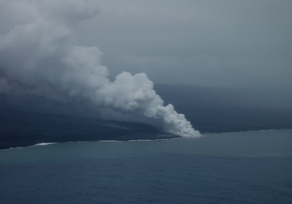
I kept a close eye on the clouds, the Kamokuna Flight Restriction (TFR) listed on my tablet, and the VFR cloud clearance minimums while the instructor kept listening to the tour frequencies, and we pressed on.
Beyond just the cloud clearance rules and the restricted flight area (there to keep us clear of the steam), the steam itself was hot acidified gas that would choke the engine – and us – and we needed to keep well clear of it and wherever its gasses were headed. Ground reference maneuver time!
With the airspace still clear, I set up some photo passes offshore of the lava. My colleague had my Nikon with its stablized lens pointed out the side window, snapping away.
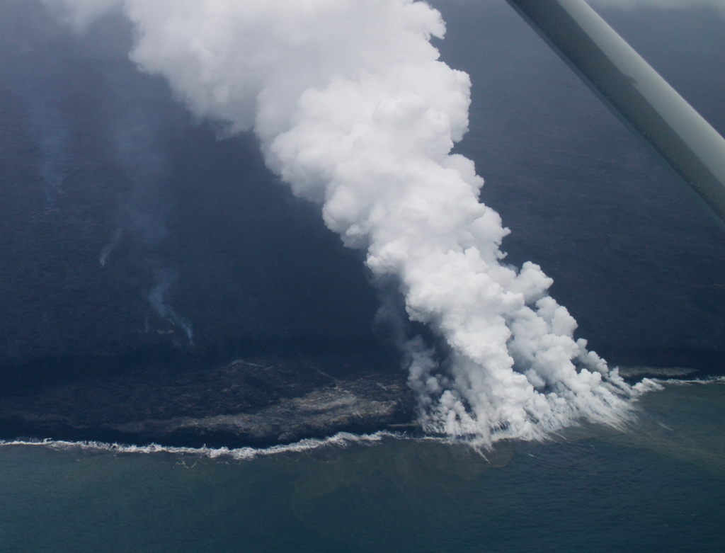
We made a couple of orbits offshore; the glow and steam were amazing. With the photography gear we had, the photos can only approximate the unearthliness of that kind of a view, as the rock boiled underwater and new land grew in front of us.
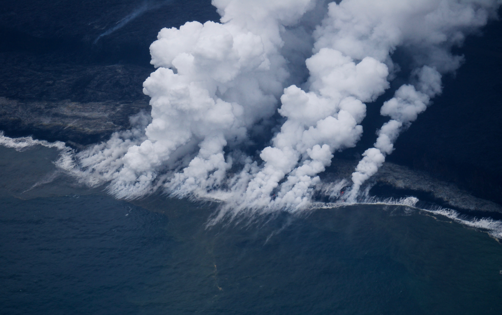
The helicopters were still stuck on the far side of the island, and I decided it was time for us to turn back before we got stuck anywhere requiring an IFR clearance, so we turned around to look for an opening to cross the middle of the island.
A few miles back the way we came, the cloud front ended, and I turned inland over the Ka’ū Forest Reserve. The terrain here climbs very steeply to a ridgeline of Mauna Loa that divides the island north-to-south. With three people, the 172 wasn’t exactly leaping up in altitude to clear the ridge, so we did a long racetrack pattern while we enjoyed the verdant greenery, contrasted with the newer, more volcanic coastline.
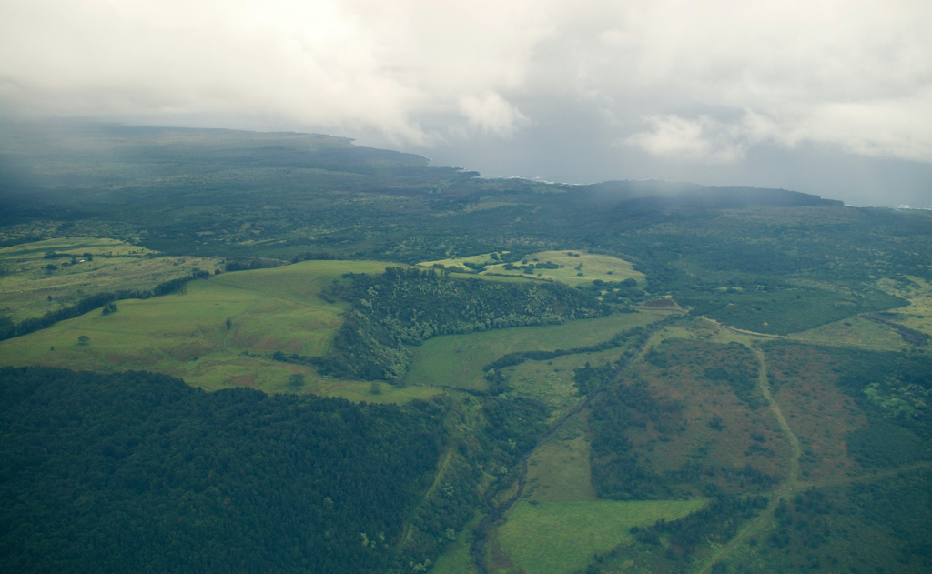
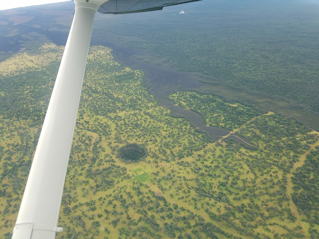
Even amid the greenery, the volcano was never far away. Not only did it loom ahead of us, but there were an abundance of lava tubes dotting the landscape.
Since the island isn’t overly large, contacting Kona tower as we crossed the ridgeline was apparently standard operating procedure according to the local instructor, so we did. Tower expressed concern that they had clouds arriving imminently, and said to stay off-shore to avoid them. We did so, getting one last great view of Kona as we returned.
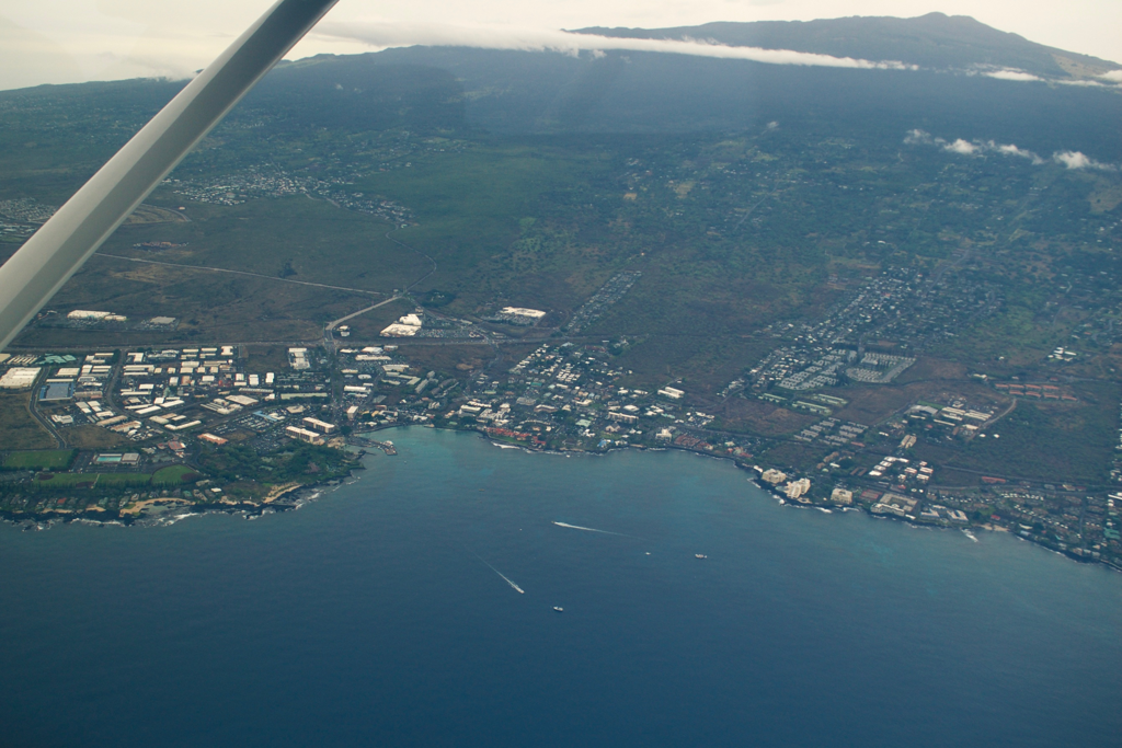
While clouds were arriving as we approached, the airport was still decidedly VFR; the overcast was higher than 2,000 feet up, with few clouds lower.
On final, I realized that the 172 I was in had a momentary flap switch; every other Cessna I’d been in up to this point had a switch where you moved a lever to the flap position you wanted and the flaps would move to match. This switch required the pilot to hold the switch until you saw the flaps in the position you wanted.
Final approach isn’t a great place to find this sort of thing out. My momentary confusion seemed to alarm the instructor in the right seat, who jumped to help and set the flaps where I wanted them… but I was concentrating on the approach, and just changed my expectations to be a no-flap landing. We had the briefest of standoffs there, then on short-final, as the instructor had his hand on the flap switch, asking me questions, and me saying, “I have the controls.”
He let go, agreed “you have the controls,” and I greased the landing – but rolled halfway down the runway. Ah well!
Only a few weeks after this flight, the whole Kamokuna lava delta we viewed collapsed into the ocean.